
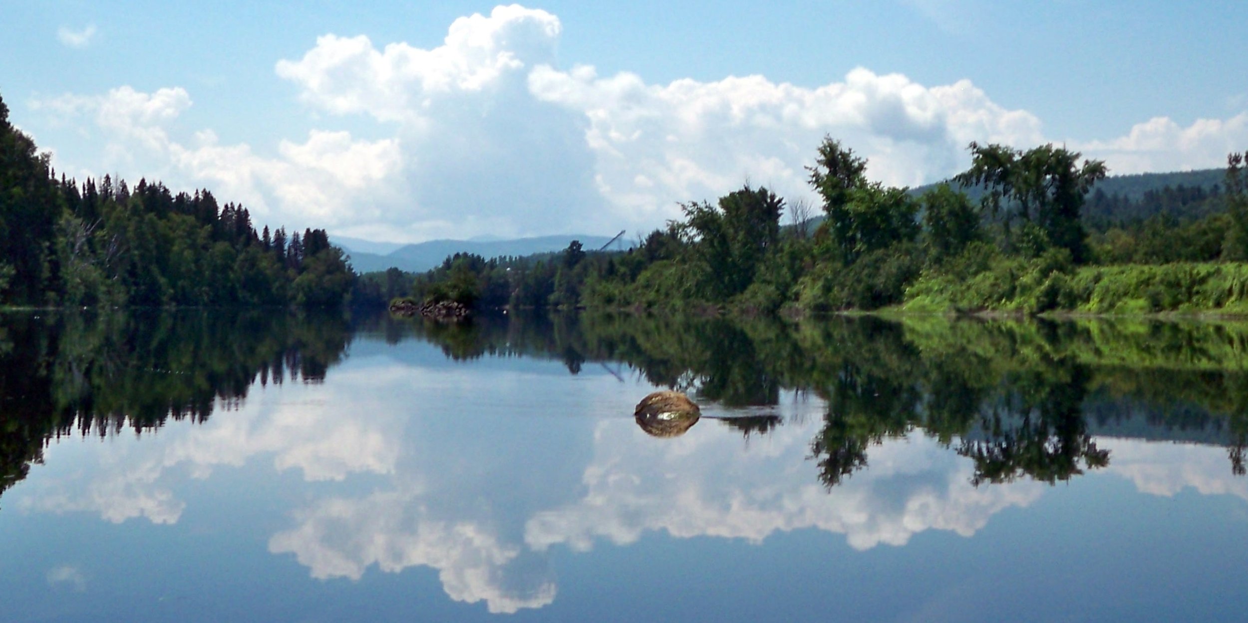
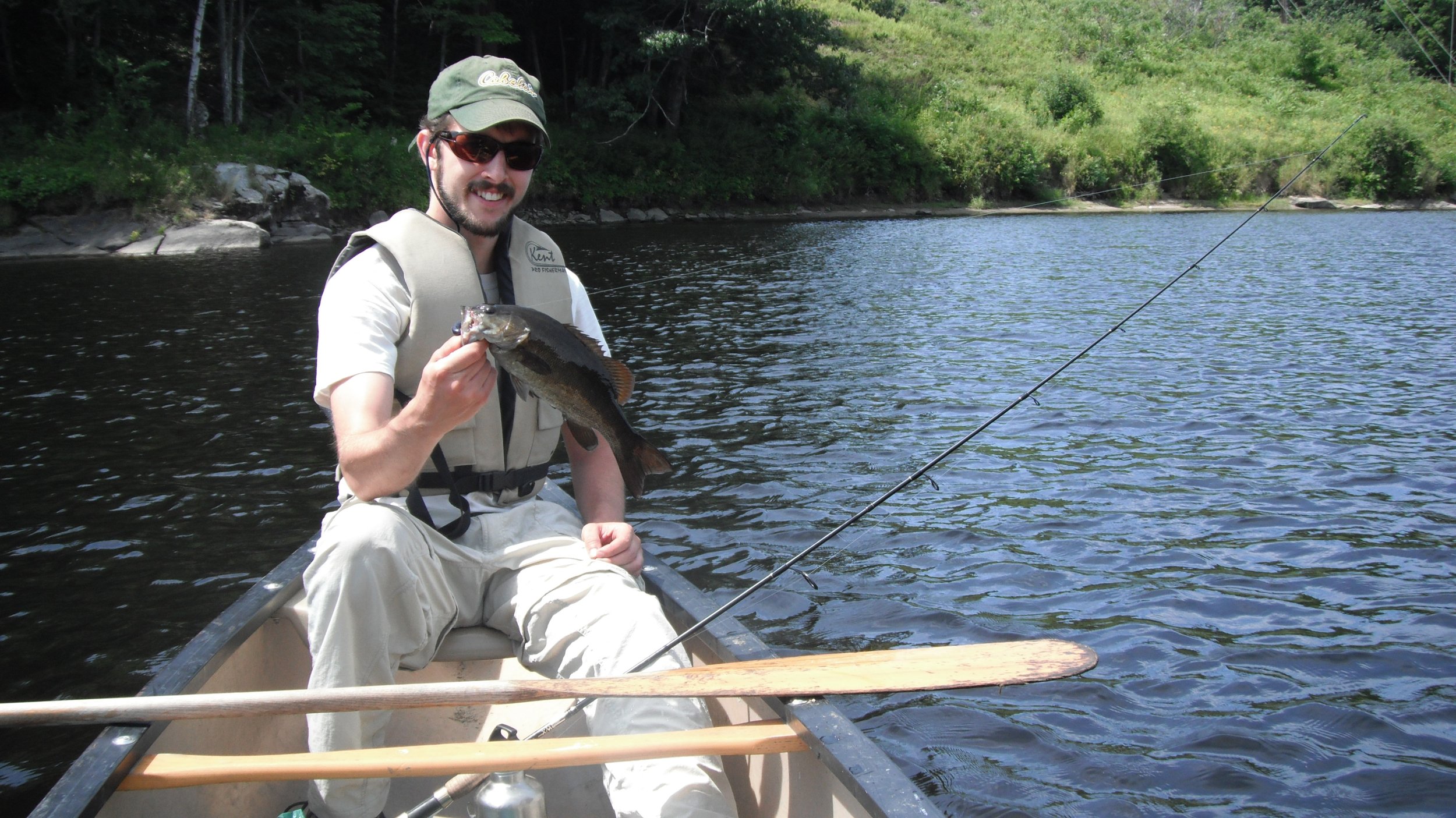
The Androscoggin River Trail grew out of the Androscoggin Canoe Trail coordinated by the Mahoosuc Land Trust. Growing from eight sites developed by the Land Trust and municipalities in the Bethel-Rumford area, there are now more than 50 access sites from Lake Umbagog to Merrymeeting Bay. It is currently possible for a paddler to experience attractive day trips or half-day trips on most of the Androscoggin River. Many sections offer suitable launch facilities and water conditions for drift boats or small motorboats. Portions of the river offer excellent fishing, with cold water species (trout) being prevalent in the northerly portions of the river and warm water species, most notably bass, being abundant in the southerly portions.
An interactive map and guide is linked below. The guide is available for smart phone use wherever there is cell phone service on the river. Maps can be printed or stored on a smart phone for use where there is not cell service. Maps are also located at kiosks at popular access points.
PDF maps and guides are also available but are not as up to date as the interactive link. For the pdf versions, the river has been divided into three sections: the North Woods, the Mahoosucs, and the Greenway - Riverlands. An index map indicates the sections. The pdf format should allow users to print an entire section or portion thereof. The river does not recognize section or even state boundaries. Section maps feature some overlap to facilitate navigation from one section to the next.
Each section provides its unique features but all have some mix of undeveloped, remote-feeling shoreline and built up or urban area. The lower portion of the river offers some surprisingly pristine, remote feeling shoreline, while the northerly sections feature several urban paddling experiences in addition to the remoteness expected of the North Woods.
Before accessing the river, please take a moment to review our trail ethics.
Interactive Map and Guide
The Map and Guide is provided on this website link. This is available on smart phones for use in the field where cell service is available. Maps can be printed at varying scales, and a description of access sites is provided by clicking on each site.
An interactive, electronic version of the Androscoggin River Trail Source to the Sea Trek route, hosted and updated by Androscoggin Valley Council of Governments, is available for viewing here.
Trail Sections in PDF format
-
The North Woods
The North Woods section of the Androscoggin River Trail flows from the headwaters at Lake Umbagog, south through the rapids of Errol, flattens out in the Pontook Reservoir, continues through some serious whitewater below Pontook Dam, through the historic mill towns of Berlin and Gorham, then heads east through Shelburne towards the Maine border. It is incredibly scenic, often wild, and boasts excellent trout fishing and wildlife viewing.
-

The Mahoosucs
The Mahoosucs section of the Androscoggin River Trail begins at the Maine border in Gilead. It meanders fairly gently with occasional quickwater through the towns of Gilead, Bethel, and Hanover before reaching the largest falls east of Niagara in the active paper mill town of Rumford. From there, it continues east through Mexico and Dixfield, jogs north for a bit towards Canton, then turns south through the paper mill town of Jay, and continues through Turner before reaching Androscoggin Riverlands State Park.
-
The Greenway - Riverlands
The southernmost section of the river is known as the Androscoggin Greenway. The Androscoggin Greenway is a cooperative effort, led by the Androscoggin Land Trust, that includes residents, landowners, municipalities, businesses and government agencies along the Androscoggin River corridor. This section also includes Androscoggin Riverlands State Park.